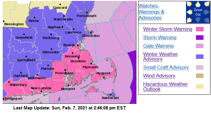
[3:15 PM] February 7, 2021 | Winter Weather Update
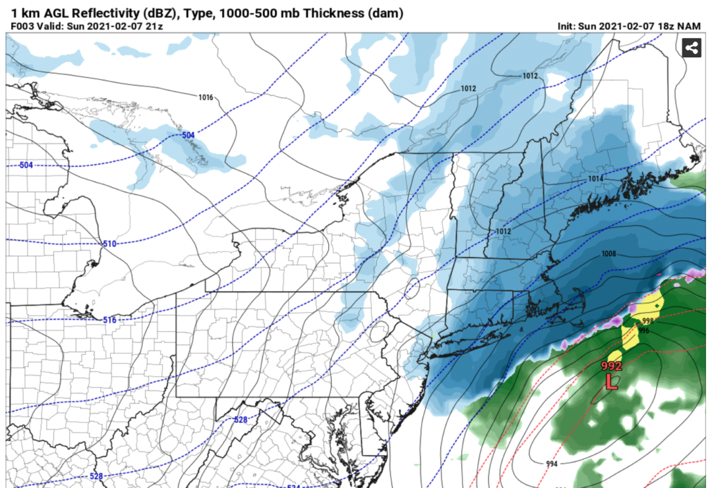
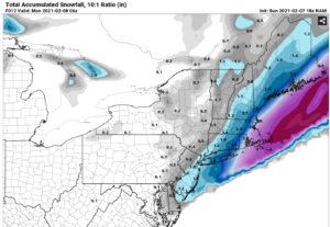
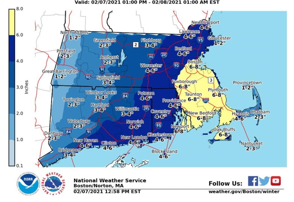
Most of the very warm air at the surface in coastal sections has been dislodged after the winds moved around to NNE and the column is rapidly cooling. Heavy snow is stacking up in many areas. Over the Cape/Islands, early warm temperatures prevented accumulation, but it should continue to accumulate now. Surface Low pressure continues to move NE towards the benchmark position (40N 70W). It may pass just south of that position. Several inches more will stack up before the precipitation from the snow shield shuts off. Several areas well north and west of the Cape/Islands are reporting 5-6” of snow already at 230pm. We should see snow across SE MA and the Cape increase further as we get into the late afternoon now. Some areas may surpass the accumulations expected by NWS. We should see the precipitation start to shut off by mid-evening, although a few wrap around snows could affect the Cape/Islands for slightly longer.