[ 9:11 AM MEMA Situational Report ] Nor’easter Update # 5
Massachusetts Emergency Management Agency Situational Report
Overview
The National Weather Service (NWS) is forecasting a Nor’easter to continue to impact Massachusetts through Wednesday afternoon. The system will bring prolonged periods of rain, flooding, damaging winds, and minor coastal flooding and beach erosion.
Periods of moderate to heavy rain are expected to continue across the state Wednesday morning. Rainfall totals through today are expected to be 2 to 4 inches with localized amounts of 3-5 inches. Rain will transition to lighter rain with occasional showers this morning then diminish to isolated showers and finally end Wednesday afternoon.
In addition to the heavy rain, minor coastal flooding is a concern for eastern MA during Wednesday morning and late afternoon high tide cycles.
The areas at greatest risk for wind impacts are eastern MA, Cape Cod, and the Islands.
- Sustained winds along the east coast are expected to range from 30- 45 mph, and 40- 55 mph on the Cape Cod and the Islands.
- Maximum wind gusts on the east coast are expected to range from 50- 70mph, and 60- 75 mph on Cape Cod and the Islands.
The storm is expected to move offshore later today, and drier weather is expected Thursday.
Impacts
- Heavy rainfall with as much as 3-5 inches in central and eastern MA.
- Difficult travel during commutes. Urban and poor drainage flooding. Rises on rivers and streams at or over water level limit.
- Damaging winds. Power outages possible.
- Wind damage may be exacerbated by nearly fully leafed trees, while clogged storm drains will be a concern for flooding.
- Potential for minor coastal flooding on vulnerable shoreline roads (up to 0.5 ft of inundation above ground level expected) and beach erosion. Astronomical tides are low, but the duration of E/NE flow will contribute to flooding.
|
|||||||||||||||||||||||||||||||||||
|
MEMA Operations |
| The State Emergency Operations Center (SEOC) is operating at Level 2 (Partial Activation) as of 8:00 AM this morning. MEMA will continue to monitor the situation and will disseminate additional Situational Awareness Statements, as necessary. The next SAS will be issued late morning.
There are currently no requests for shelter or warming center operations at this time. |
|
Preparedness and Safety Information |
|
|
Stay Informed |
| For additional information and updated forecasts, see www.weather.gov/boston (National Weather Service Norton) and www.weather.gov/albany (National Weather Service Albany)
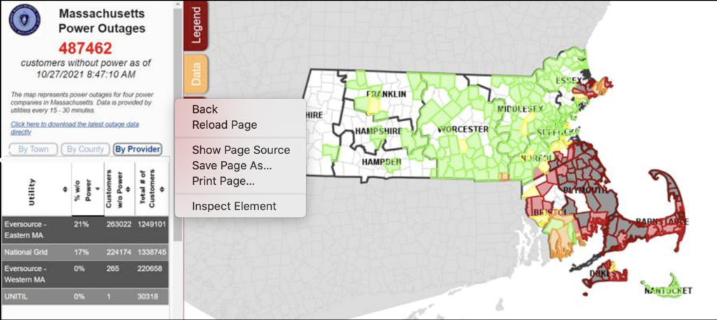
Utilize MEMA’s real-time power outage viewer to stay informed about current power outages in your community and region, and across the state, including information from utility companies about restoration times: http://mema.mapsonline.net/public.html |
|
Online Resources |
| Massachusetts Emergency Management Agency www.mass.gov/mema MEMA’s Facebook page http://www.facebook.com/MassachusettsEMA MEMA Twitter @MassEMA Federal Emergency Management Agency www.fema.gov National Weather Service Boston/ Norton, MA www.weather.gov/boston National Weather Service/Albany, NY www.weather.gov/albany National Weather Service Weather Prediction Center www.wpc.ncep.noaa.gov National Weather Service Storm Prediction Center www.spc.noaa.gov Northeast River Forecast Center www.weather.gov/nerfc/National Hurricane Center www.nhc.noaa.govMass211 www.mass211.org |