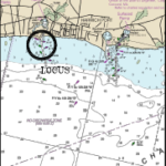
Allen Harbor Entrance Channel – Dredging Project
This is a semi-annual project for the Town of Harwich. The project started on May 9th and had several weather delays throughout the period and ended on May 27th.
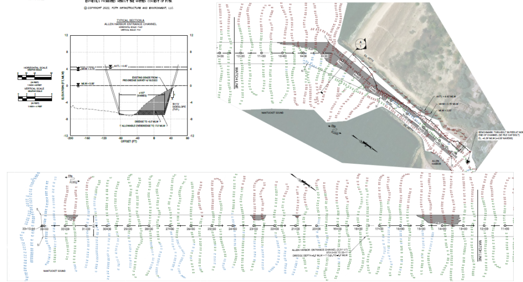
The image below is the Pre-Dredge Survey that shows the areas (shaded) that need to be dredged. As with all Pre-Dredge surveys, these shaded areas show the depths that are below the control depth of the channel plus 1′ (over-dredge). The control depth for Allen Harbor is 6′. Significant shoaling is shown at the northern end of the channel (2+00 – 0+00). The material in this area is not suitable for beach nourishment, and dredging will not be possible within this area.
Pre-Dredge Survey:
The target volume is 10,000 Cubic Yards with the following beach nourishment sites:
Grey Neck Beach
Earle Rd. Beach
Wah Wah Taysee Beach
Sea Breeze Ave. Beach
Zylpha & Ocean Rd. Beaches
Atlantic Ave. Beach
Post Dredge Survey:
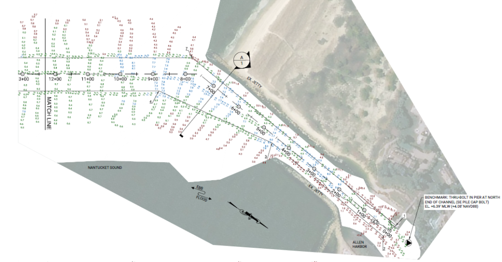
The project was completed on May 27th, just in time for the Memorial Day holiday weekend. The Post-Dredge survey was completed on May 31st. The final volume removed from the Entrance Channel was 9,686 CY.
As noted above, there were a total of seven beaches nourished from the material dredged out of the channel which required the dredge pipe to be moved from location to location (as opposed to depositing the material on just one site). Rough grading of the material was done by the dredge crew.
The following is a notice for all boaters navigating in this area.
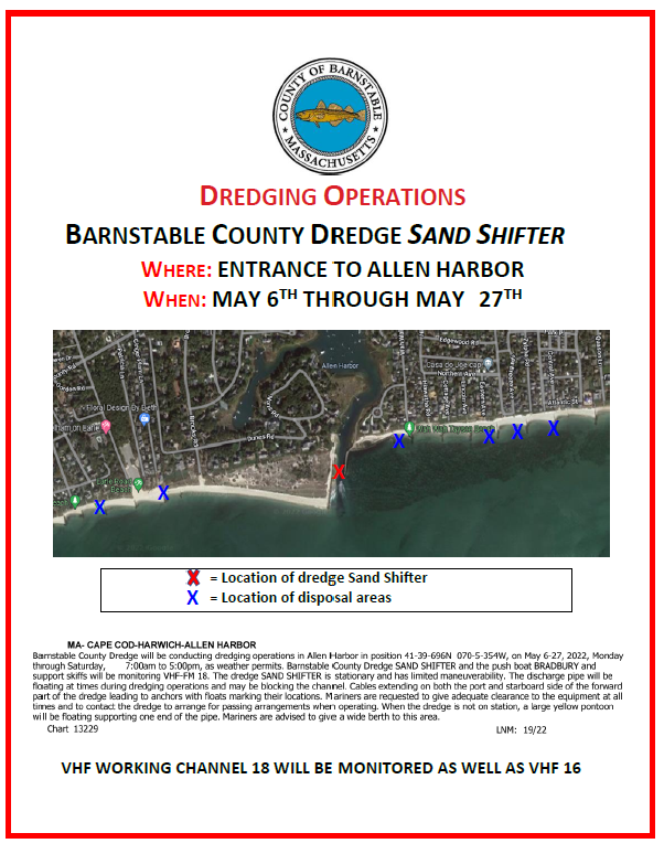
Close Quarters Dredging!
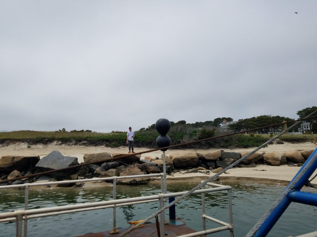
Cutterhead Getting Ready to Start Dredging
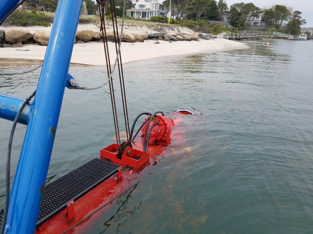
Onboard the Sand Shifter
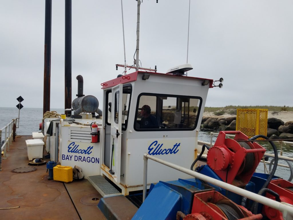
Spuds (these are what allow the dredge to pivot/crab from side to side)!
Beach Nourishment Area – East of Allen Harbor Jetty